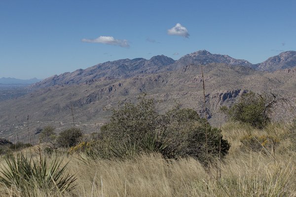
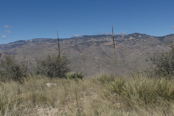
On Saturday, November 7, I returned once more to hike Agua Caliente Hill on the east side of Tucson, Arizona. The hill is considered to be part of the Santa Catalina Mountains and has a nice view of Tucson and surrounding mountains from its summit.
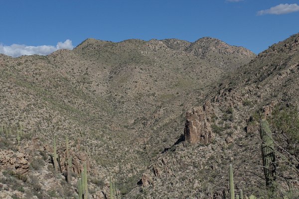
This was a shakedown hike for me; my summer hiking had not been very active and I needed to confirm I was ready to join others on local peaks this winter, especially if I planned to lead any of them. This was a trail hike, mostly up open ridges. But the trail is rocky and in spots quite steep. There was also an option to descend cross-country down an open ridge. So the route is typical of many Southern Arizona peak hikes.
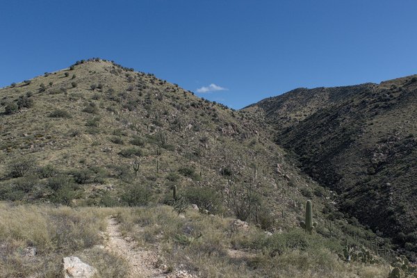
I started by climbing the Agua Caliente Hill Trail from the South Trailhead up a steep ridge. The trail continued over a broad ridge, then descended to Cat Track Tank, a catchment for water. With the recent rains the tank was full of water. Usually it is quite stagnant or dried up completely.
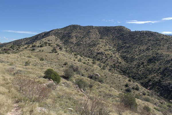
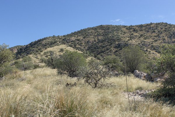
It was a windy day, but otherwise the day had nice hiking temperatures and a clear sky. I met several other parties, including some with dogs. Many of the local hiking areas are closed to dogs so this area is a local favorite for dog owners.
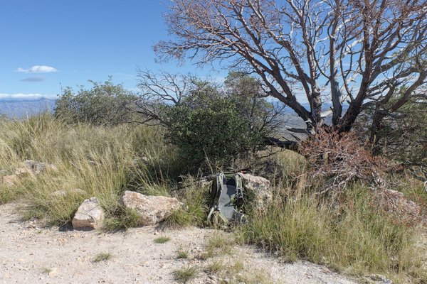
From there I traversed along another ridge, then descended into a drainage with a flowing creek. After crossing the creek the trail led steeply up to a saddle and trail junction. After a quick break I followed the trail up a long ridge to the summit.
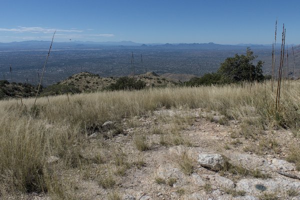
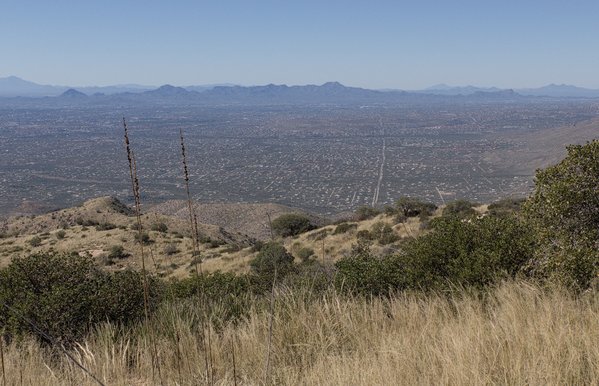
One couple was at the summit when I arrived, but they soon left and I had the views to myself. I felt good, but was a little behind schedule so after a few photos and a quick snack I started my descent. I decided to return on the trail, rather than the open ridge, not wanting to encounter unexpected delays.
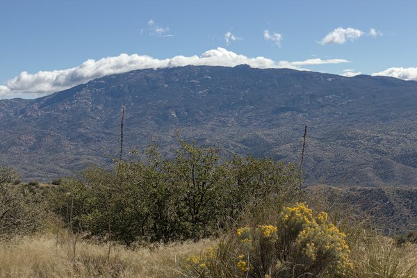
The descent went well, though I was careful with footing on the rocky and steep portions of the trail. I wore hiking boots, rather than my usual climbing boots. The hiking boots were lighter and worked well on the trail. But I was tiring at the end of the hike, and sore thereafter.
I am glad to have made this hike, my eighth ascent of Agua Caliente Hill. In spite of the tedious trail footing it is close to home and is a quick way to either confirm I am ready to join others in the mountains, or that I need more preparation. After recovering from this hike I think I am ready.

Leave a Reply