On Saturday, November 14, I visited Keith Peak in the Johnny Lyon Hills north of Benson, Arizona. This was my first visit for Keith Peak. It had been two years since I was last in these hills, when I climbed the Johnny Lyon Hills Highpoint. Often these two peaks are combined in a day’s outing, and I was considering doing so leading a hike for the Southern Arizona Hiking Club. But I wanted to climb the peak first to better understand the route options and nature of Keith Peak.
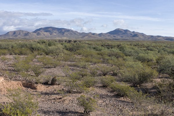
From Benson I drove north on paved Pomerene and Cascabel Roads, then turned east onto the dirt/gravel Keith Ranch Road. I followed this road past one unlocked gate to a locked one higher, and parked. Beyond the locked gate lay the active Keith Ranch, but access is open to the public for foot travel.
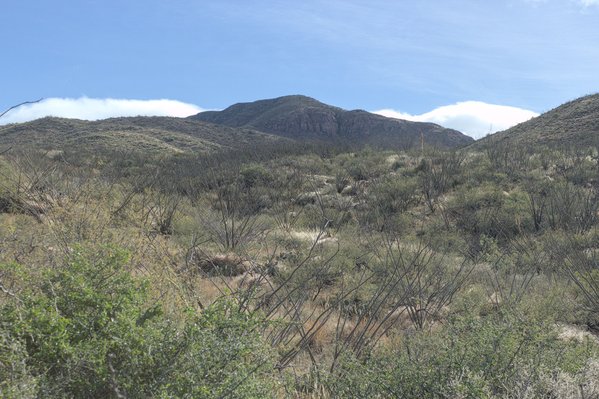
From this spot I could see Keith Peak above me to the east. I climbed over the gate and followed the road higher to a pass.
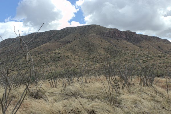
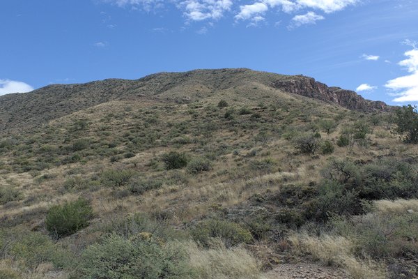
At the pass I left the ranch road and hiked cross-country across open slopes and through Ocotillo “forest” towards Keith Peak. Soon I crossed a barbed wire fence. Closer to the peak, I identified a tempting ridge that curved to the southeast and led up towards steeper slopes higher. This was to be my route.
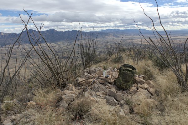
After crossing two shallow washes, I gained the ridge line, then followed it upward. Higher on the ridge I crossed another fence at some rocks. The slope steepened, but most brush was avoidable, the footing was firm, and scrambling was not necessary. Clouds built up around me and I wondered if it might shower. Gaining the summit ridge I walked a short distance over rocks and around brush south to the summit.
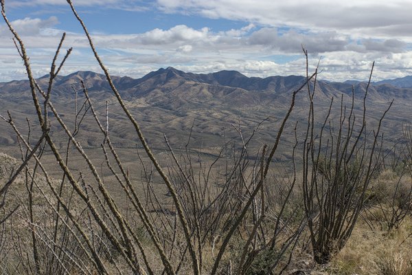
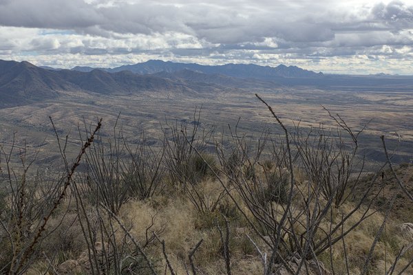
The summit cairn included a damaged plastic jar with old papers, a pencil, and an unusable pen. I scanned some pages for familiar names, then added my own. If I return soon I may bring a glass jar with metal lid to replace the plastic jar and broken lid and bring a working pen.
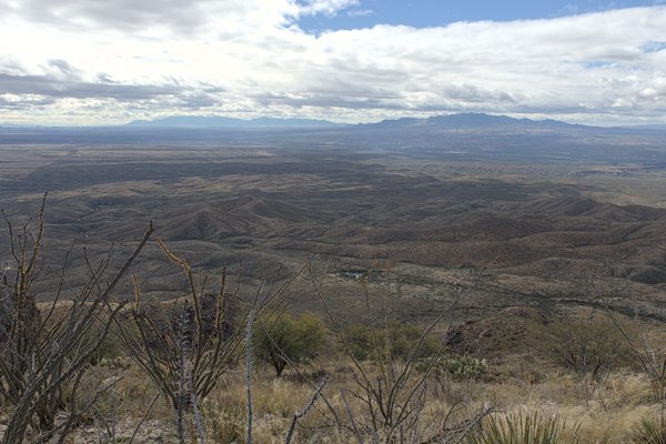
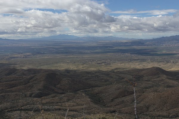
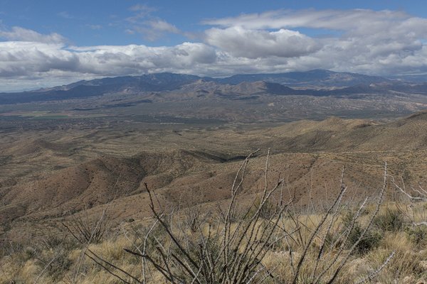
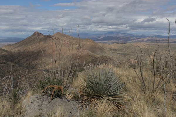
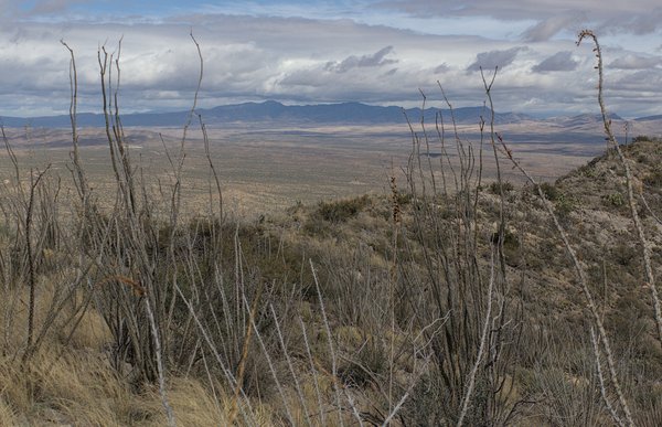
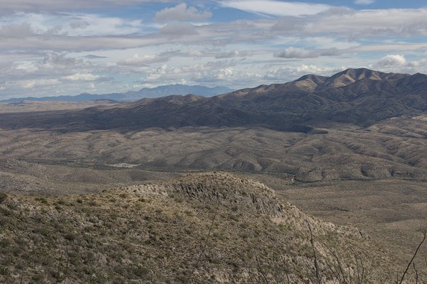
After a quick lunch I identified and photographed the surrounding mountain ranges which I had visited over the past several years. Cloud shadows passed over the nearby peaks and more distant ranges.
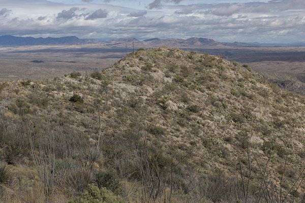
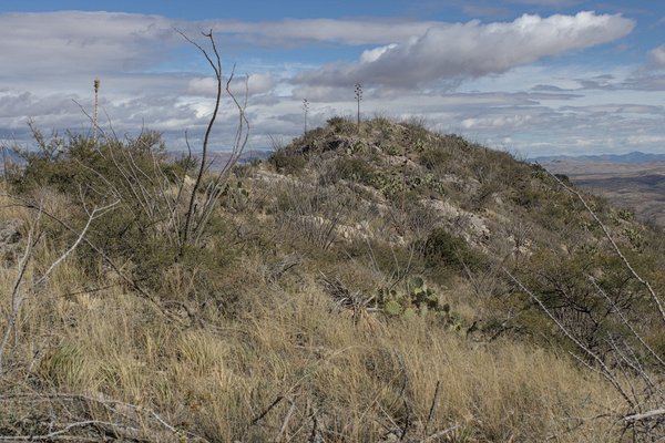
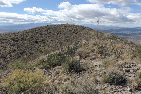
To the northeast was a subsidiary point that appeared lower; to be sure I hiked over to visit it as well. It was, indeed, lower.
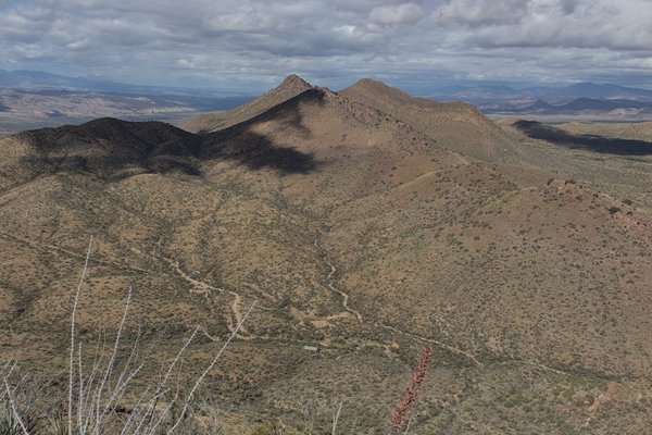
I descended the same route down the upper slopes, then turned further north to explore how I might best access nearby Johnny Lyon Hills Highpoint from Keith Peak on a subsequent “twofer” peak trip.
On the way I crossed a deeper and brushy wash and pushed through Catclaw Acacia (Senegalia greggii) to reach the ranch road. I had otherwise dressed defensively, but foolishly forgotten to bring my leather work gloves. I vowed to pack them for my next desert hike.
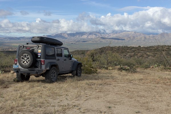
After marking a good access point for my next visit, I followed the ranch road back to my Jeep. The skies were clearing. The temperatures had been ideal with a slight breeze. It had been a fun day visiting Keith Peak in the Johnny Lyon Hills. I expect to return soon with others.

Leave a Reply