On Thursday, June 25, I visited Baldy Mountain in the Blue Mountains southeast of Prairie City, Oregon. Linda and I were returning to Bend from Baker City but I took a detour on the way while Linda drove on to Bend with our dogs. I expected a quick detour, but it proved otherwise.
A quick search on a peak database I use reveals there are 80 peaks in Oregon with “Bald” in their name, and 6 named “Baldy Mountain”. This Baldy Mountain has 7618 feet of elevation and 958 feet of topographic prominence. It has been on my “wish list” of Blue Mountain peaks to visit for several years.
I left US Hwy 26 at Prairie City and followed roads south and east into the Malheur National Forest. Eight miles of the drive was up a gravel forest road #1344 that was suitable for most cars with good tires. I was glad to have paper topo maps and a previously identified driving route – Google Maps tried to misdirect me on the drive. I parked just off this road #1344 on an abandoned spur road #312.
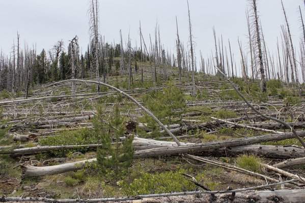
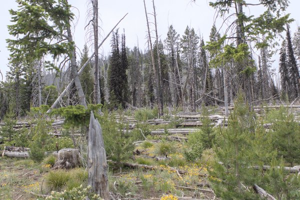
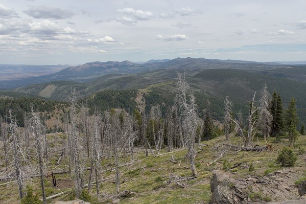
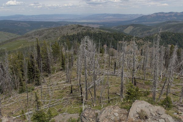
I anticipated a short and easy hike up the NE Ridge. But the forest here had been burned in the lightning-caused Bald Sisters Wildfire of August 2014. Most of the burned trees had subsequently fallen forming a complex of deadfall to weave between and step and climb over.
Rather than try to follow road #312 further I headed directly towards what looked like the summit to the southwest. After slow progress I traversed to the ridge line where the ground was more open and the climbing much easier.
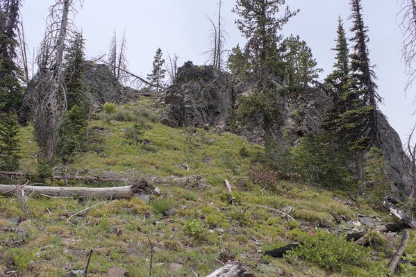
What had appeared to be the summit from below proved to be a rock band higher on the ridge. Here I found an easy route over the band up a ramp.
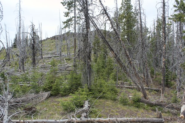
Once above that rock band I saw the summit cliffs for the first time, further along the ridge with more deadfall ahead.
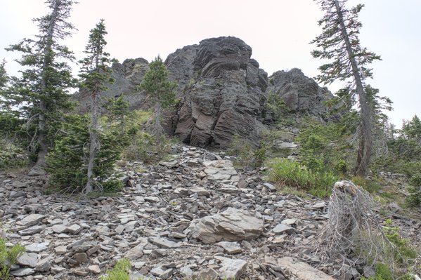
I found another easy path around the summit cliffs to reach the summit of Baldy Mountain.
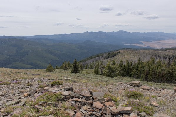
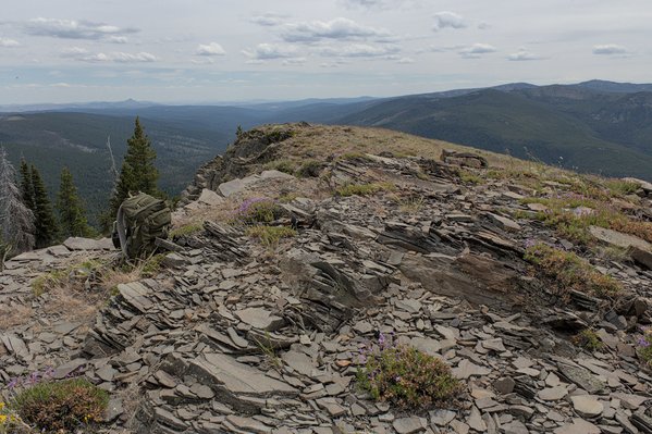
It was an overcast day, but I enjoyed views of peaks and valleys around me. Most obviously to the west was the John Day Valley and to the southwest were the Strawberry Mountains.
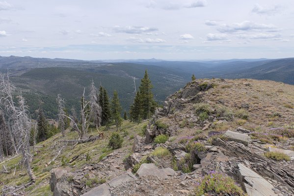
To the south I identified Lookout Mountain, Glacier Mountain, and Little Baldy Mountain. I hiked Lookout Mountain from the south in 2009 with our dog Rudi. On the horizon to the SSE I spotted Castle Rock. Last August I climbed Castle Rock; the climb was a memorable solo adventure.
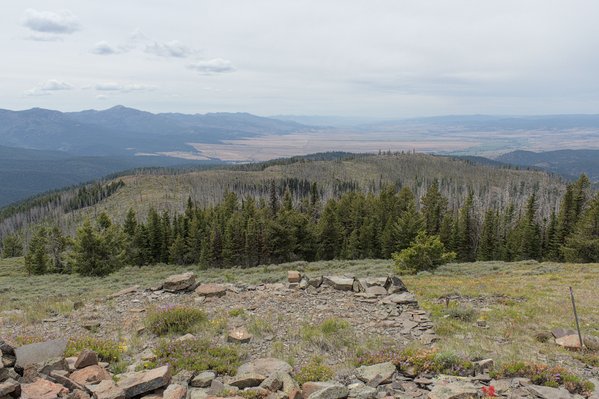
Bullrun Rock, Table Rock, and Monument Rock lie to the southeast. I had also climbed Bullrun Rock with Rudi in 2009. I have not been back since. Behind those peaks I noted Ironside Mountain, which I had hiked in June 2016 as part of a longer trip. Last October I returned to Ironside Mountain and hiked two subsidiary peaks to the northeast.
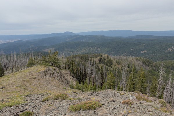
To the north lay Dixie Butte and the Greenhorn Mountains. Two peaks remain in the Greenhorn Mountains to visit. Perhaps I will do so later this summer.
It was fun to identify so many peaks I had previously visited. After lingering on the summit I descended the route back to my Jeep.
It had been a longer detour to visit Baldy Mountain than I had planned, but I enjoyed finally visiting the peak and seeing views of other familiar peaks from a different perspective.

Leave a Reply