On Monday, February 9, I climbed Cookes Peak, the highpoint of the Cookes Range in Southwestern New Mexico. Cookes Peak is a remarkable landmark, one I have often admired as we passed by on our autumn and spring migrations between Arizona and Oregon. I had not had an opportunity earlier to stop and visit it. But this month we decided to spend some days camped at City of Rocks State Park in New Mexico. This provided me my chance to finally visit Cookes Peak.
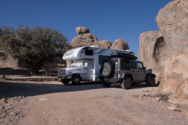
Sunday we drove from Tucson east to Demming, then north towards Silver City, and parked at our small campsite amongst the curious rock towers at the park. The site was flat and had room for both our RV and my Jeep.
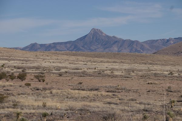
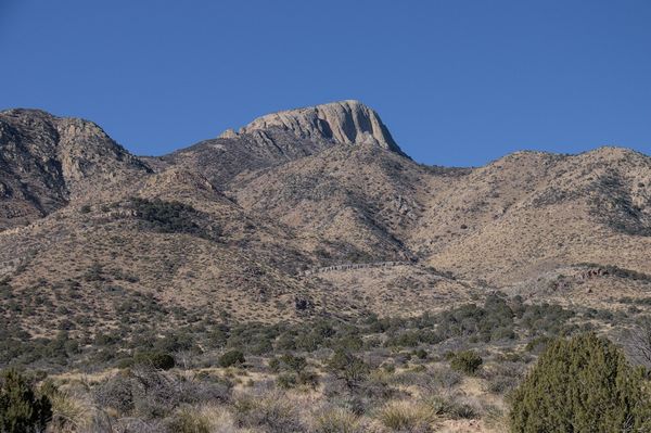
Cookes Peak rose impressively in the distance to the ESE from our site. My ascent route would be from the other side of the peak. I expected a lot of driving to access it the next morning.
Monday morning I left our camp and drove a circuitous route on highways, a good gravel road, and a primitive and rocky road. I was glad my Jeep had good tires, high clearance, and 4WD. My driving slowed as I drove closer towards the trailhead. I passed a few good parking spots as the road narrowed.
Eventually I parked about 1 mile short of the trailhead. I was driving slowly enough over rocky road and decided to park where I found a good pullout. In hindsight, the road was no worse and sometimes better beyond that point.

At the trailhead the trace of an abandoned Jeep road forked southwest towards a canyon below the northeast face of Cookes Peak. My route began on this eroded trace, then soon shifted to a foot path beside it, well marked by cairns. I followed the path as it led me into and beside a sandy and rocky creek bed at the bottom the forested northeast canyon.
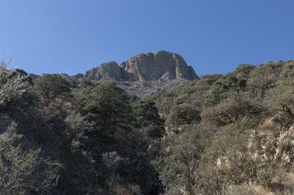
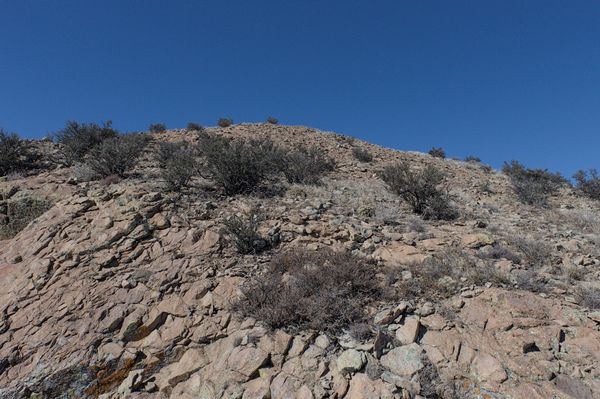
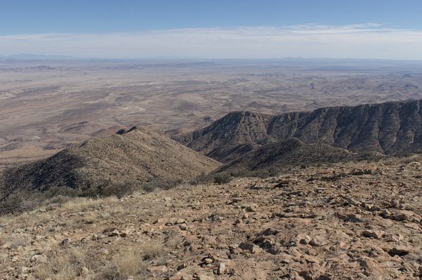
The path was very helpful, easing my passage in and beside the creek bed and through the forest. Occasionally I could see the steep cliffs of Cookes Peak above me. The path left the steepening creek bed and led me higher to my left through a narrow passage.
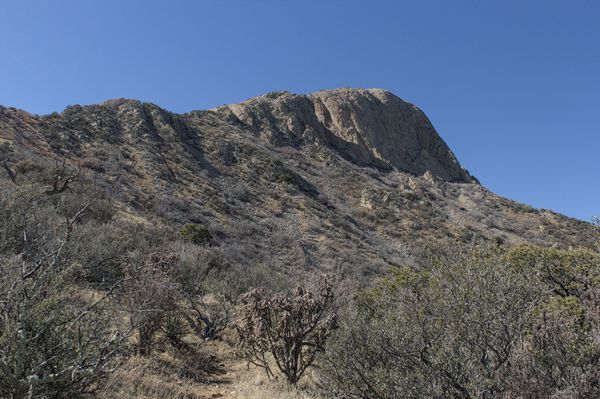
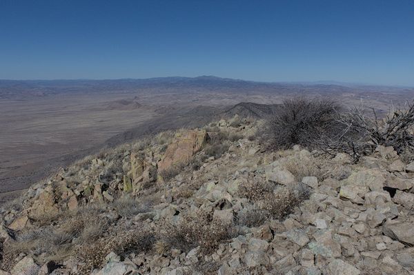
The slopes started to open as I climbed higher. Again, the path proved helpful as it climbed past thick, thorny brush below to my left. The path climbed over a subsidiary ridge then traversed south below the peak’s east-facing cliffs above to my right.
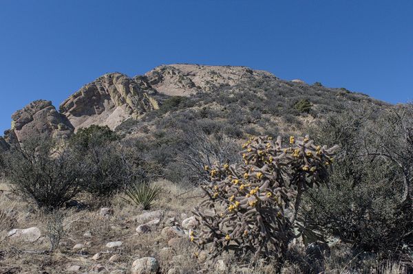
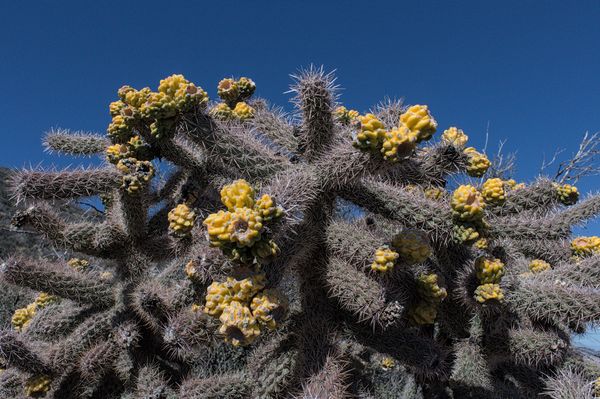
I gained the Southeast Ridge, where I stopped for a quick lunch. After my lunch I paused to admire and photograph a large, fruiting cholla plant. I think it was a Tree Cholla (Cylindropuntia imbricata), but I am waiting for confirmation.
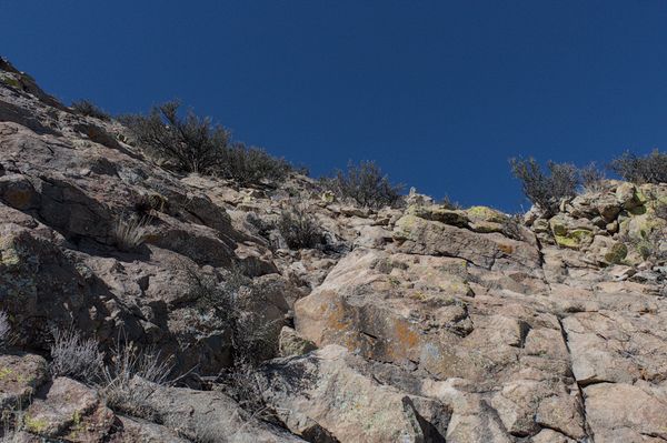
From there I followed the path up the ridge, past a rocky point, to a sloping rock face. Climbing the slab was easy, but I climbed carefully as I was tiring somewhat and a fall would have caused injury.
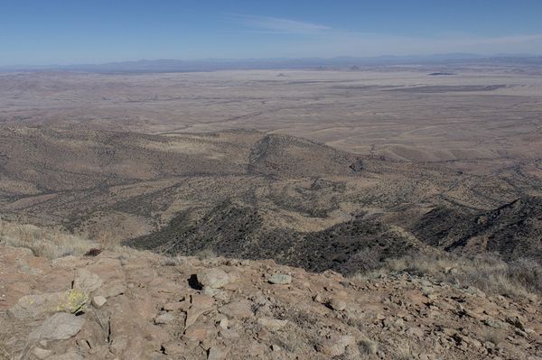
Above the slab the climbing eased and the cairned path led up across open, rocky slopes to the summit.
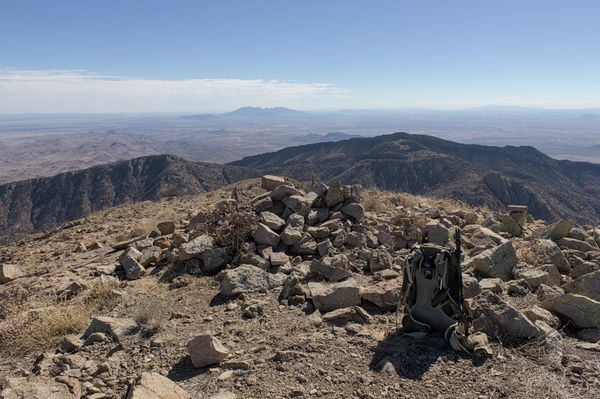
I found the summit registry buried amongst summit cairn rocks; I entered my name. I verified that a nearby point was not higher, took several photos, and texted Linda of my progress.
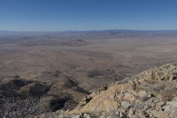
It was later than I had expected but I did linger on the summit to enjoy the views. I tried to identify surrounding ranges and peaks. On the western horizon I noted the Big Burro Mountains and Burro Peak. To the northwest beyond Silver City was Black Peak and the Pinos Altos Range. The Black Range and McKnight Mountain rose to the north. We had previously camped at City of Rocks in April 2019 and I had visited these ranges and peaks then.
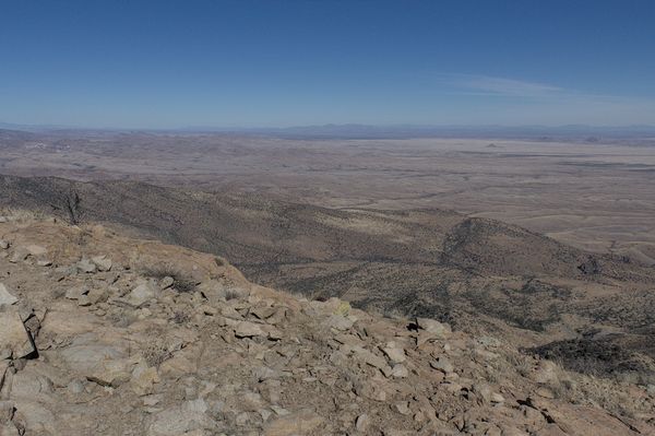
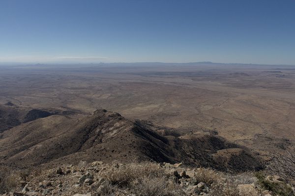
Timber Mountain and the Caballo Mountains appeared on the horizon far to the northeast. Several times Linda and I have camped at Elephant Butte Lake State Park on our migrations. One day in April 2023 I left camp, drove high on Timber Mountain, and hiked a ridge to its summit.
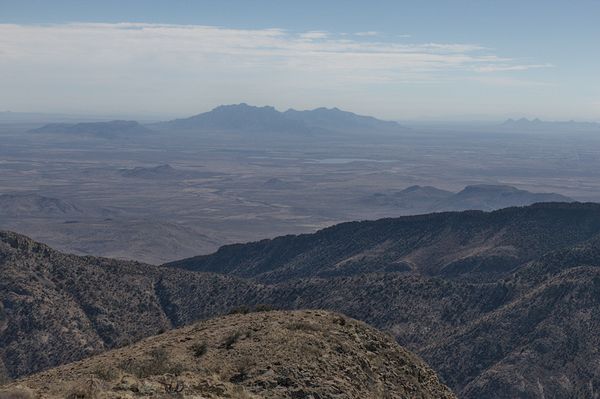
These peaks and ranges I had visited before. But the Florida Mountains rose nearby to the south. It seems best to defer visiting the highpoint of that range until and if I can find a suitable partner to join me.
It was time to descend. I followed the same path down and out to the trailhead. Gravity helped move me down and the helpful path was even easier to follow from above. The hike along the road back to my Jeep was more tedious, but my spirits were elevated with a successful visit to another remarkable peak.

Leave a Reply