On Sunday, July 27, I left my secluded and primitive campsite south of Timothy Lake and drove to the Fish Creek Trailhead in the Mount Hood National Forest of Oregon. My goal was to hike Fish Creek Mountain, a peak in the Mount Hood National Forest with 1432 feet of topographic prominence.

I followed Forest Road 57 west, then turned north on Oregon Highway 224 past Ripplebrook Campground. Immediately after crossing the Clackamas River I turned sharply south and climbed Forest Road 4620 to the Fish Creek Trailhead. This road climbs through an extensive burn from the Riverside Fire of 2020. The road was in good shape in spite of the fire, with a few spots of recent rockfall and timber debris that were easy to drive around.
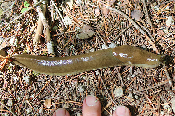
The Fish Creek Trailhead lies below the east side of Fish Creek Divide. The trail climbs steeply to gain the Fish Creek Divide. Very soon after starting up the trail I discovered a large slug slowly crossing the trail. I paused to get several photos to help identify it later.
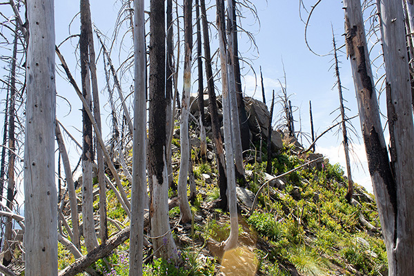
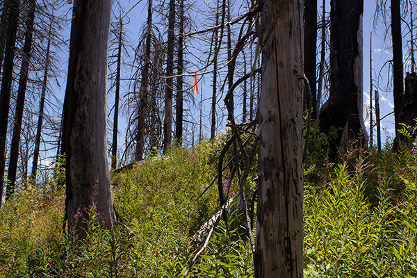
Higher on this steep slope the brush partially obscured the trail in some spots. But I was able to follow the trail with the help of flagging at points where the trail turned sharply.
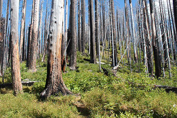
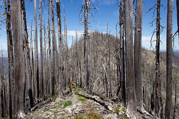
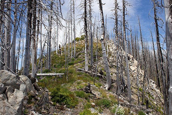
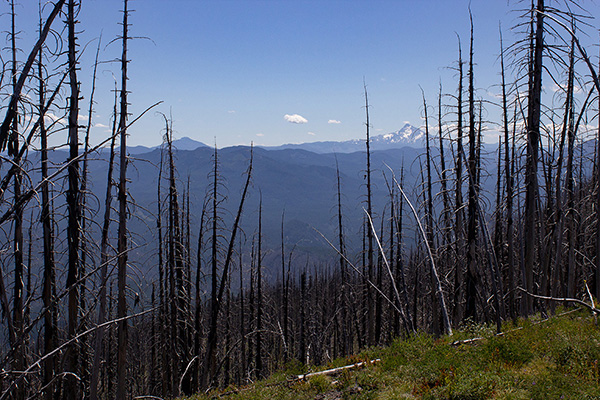
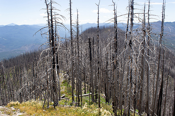
Once on the Fish Creek Divide the trail continued north, mostly along the crest, through burned forest. The brush was sometimes thick along the crest and flagging again was helpful at some turns. But most of the trail was open and easy to follow.
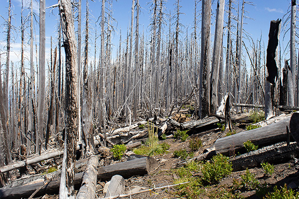
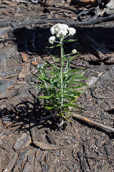
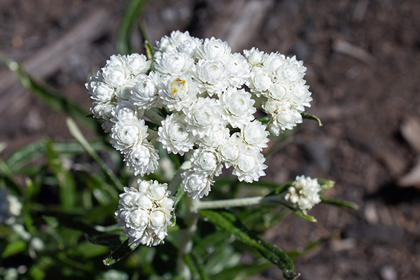
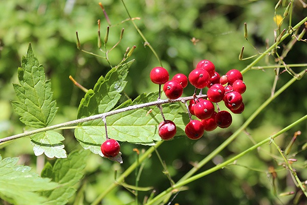
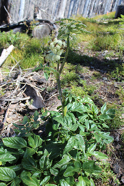
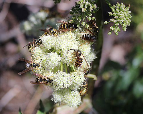
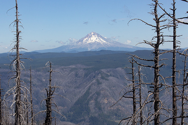
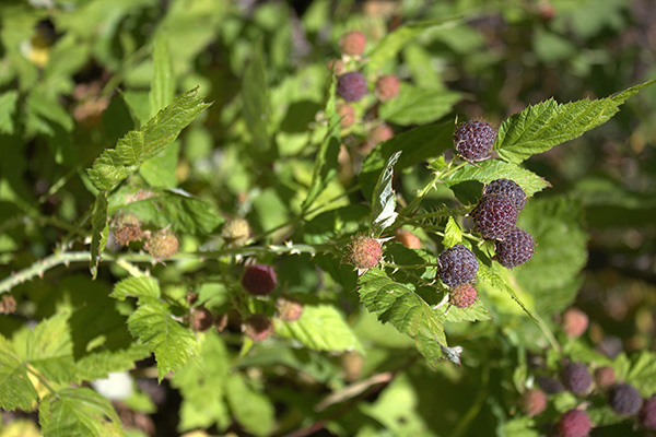
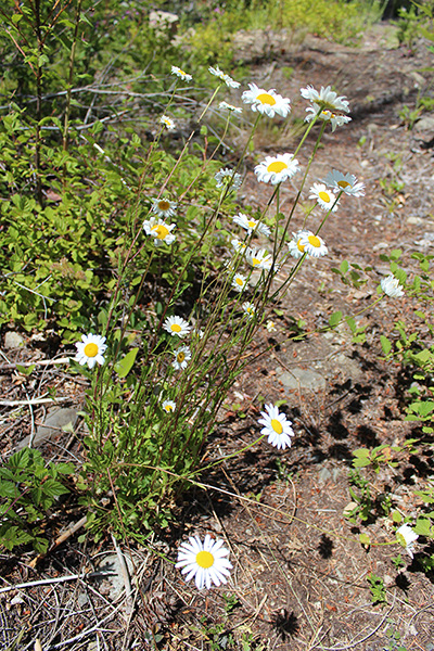
The burned forest did provide good views of surrounding ridges. I paused for photos of plants that caught my attention.
After hiking over a few false summits I eventually passed a rocky point and just beyond reached the site of the former Fish Creek Mountain lookout. This lookout had been removed years before the Riverside Fire of 2020.
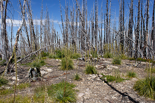
Amongst the lookout site rubble I could not find a summit registry. The burned trees obscured some views. I had my lunch here.
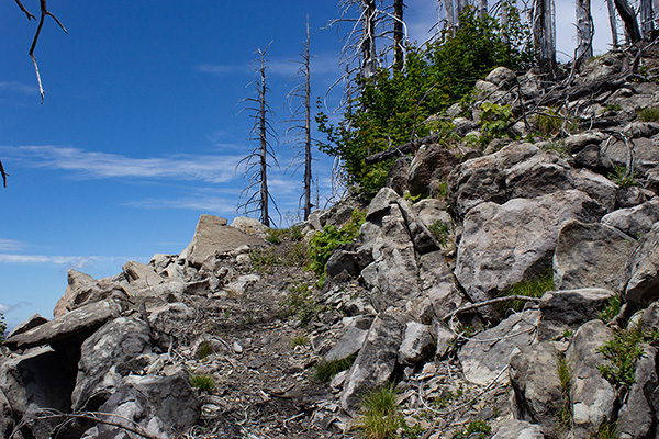
I was curious about the rocky point I had passed. The lookout site had cell coverage so I checked for the latest topographic data for the Fish Creek Mountain summit. Many recognized summit points in Oregon have been recently adjusted according to LiDAR data. In fact the rocky point to the south was now indicated as the actual summit of Fish Creek Mountain.
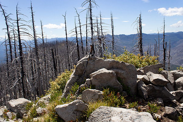
So on my descent I detoured up a short scramble to visit the rocky point. The views were better here. I found no summit registry here either, but I did discover a benchmark nearby.
Soon I began my descent south along the Fish Creek Divide. At two switchbacks I temporarily lost the trail but regained it with hints from flagging. I met a young couple who where turning around. Otherwise, I had my hike to myself.

With my frequent stops for photos I returned to my Jeep later than I had expected. But it had been a pretty day with nice temperatures. I had enjoyed visiting another peak in the Mount Hood National Forest, an area I have rarely visited over recent years.

Leave a Reply