On April 14 I drove from Tucson north through Globe and into the Sierra Ancha to hike Aztec Peak, the high point of the range. Aztec Peak has 7748 feet of elevation and 2468 feet of prominence, the 41st most prominent peak in Arizona. Arizona has three physiographic regions: the Colorado Plateau in the northeast, the Basin and Range in the south and west, and the Arizona Transition Zone between those two. This peak was the only peak I climbed this winter season that lies within the Transition Zone. The others I climbed lie in the Basin and Range region.
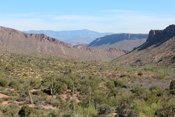
North of Globe I pulled off AZ Hwy 188 to photograph the Sierra Ancha and Aztec Peak. Aztec Peak is the flat summit near the center of the above photo.
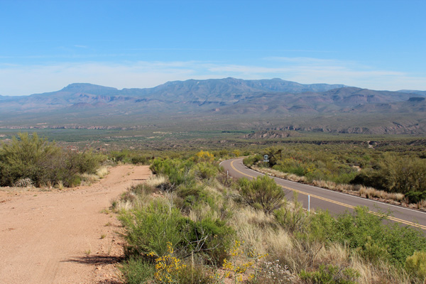
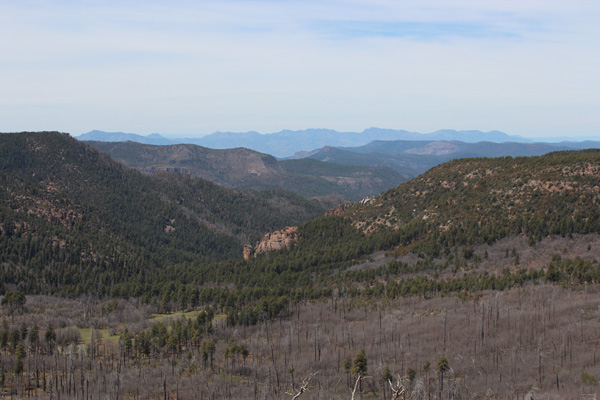
Further north I turned onto AZ Hwy 288 and crossed the Salt River over a narrow bridge. Beyond, the highway then climbs towards the Sierra Ancha through the high pass left of center in the above photo. Aztec Peak is on the right in this photo.
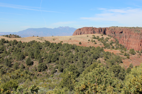
As AZ Hwy 288 climbs into the Sierra Ancha it passes by high sandstone cliffs. At one point a side road to the west climbs a grassy ridge facing cliffs with a view of Lake Roosevelt to the west. The ridge offers a scenic sunset campsite.
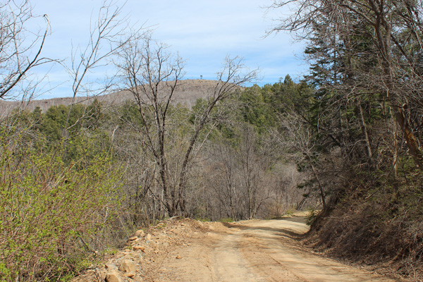
The drive into the Sierra Ancha was scenic. The pine forest reminded me somewhat of the Blue Mountains of Oregon. I parked along Forest Road 487 about three miles short of the Aztec Peak summit. I could easily have driven to the summit. Instead, I savored a pretty hike in mixed forest under sunny skies and ideal temperatures.
The Aztec Peak summit plateau is broad and offers many primitive camping sites. A large lookout tower rises above the summit, itself. The lookout was closed, but I climbed the stairs to just below the blocked access to the tower balcony. I photographed the surrounding mountain views.
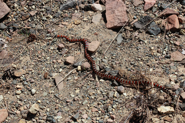
I descended FR 487 back to my Jeep and started driving out. Near Workman Creek Falls I spotted a snake on the road and stopped to avoid driving over it. I got a good view of the milk snake before it slithered into the brush.
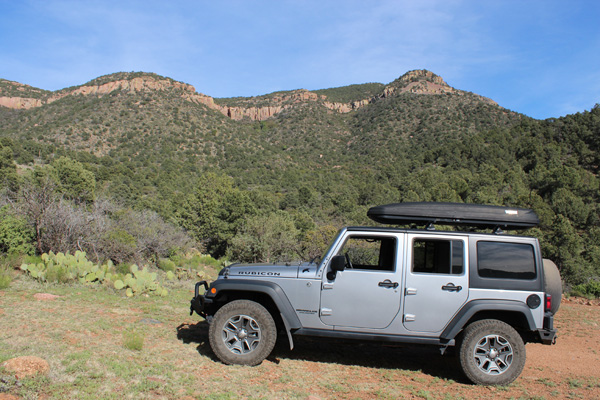
On my way home I explored an access road to Apache Peaks, the high point of the Blackjack Mountains north of Globe. The drive into the Blackjack Mountains went quite well. I reached the spot on FR 220 where the climbing route climbs up through cliffs and brush to the summit. The Apache Peaks summit is above the cliffs in this photo. The climb will involve some class 3 scrambling and travel through a lot of brush. I look forward to returning to climb Apache Peaks next winter or spring.

Leave a Reply