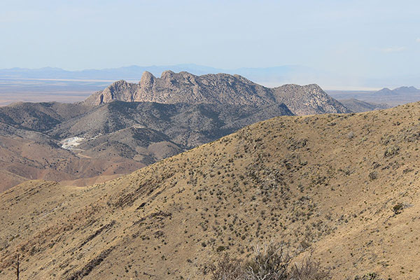
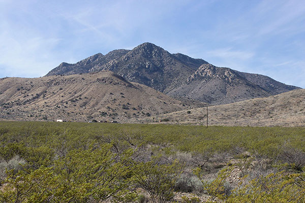
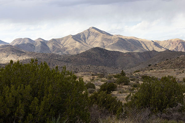
On Thursday, March 24, I climbed Bowie Mountain, immediately south of the Fort Bowie National Historic Site in southeast Arizona. Bowie Mountain, with 1189 feet of topographic prominence, lies in the northern Chiricahua Mountains. It is visible to the south from Interstate 10, but seems most impressive to the northeast as one drives Arizona Highway 186 between Willcox and the Chiricahua National Monument.
I had previously attempted Bowie Mountain from the west in combination with a climb of Helens Dome. This was a Southern Arizona Hiking Club trip in December 2021 with Dave Kohnke, June Meyer, and Brian Brondel. We ran out of time once we reached the western rim of Bowie Mountain’s rocky summit ridge. Dave and June returned later to climb Bowie Mountain from Fort Bowie but I was unable to join them then. So this peak had been on my wish list for several years.
Thursday morning I drove from Tucson east on I-10 through Willcox to the town of Bowie. East of Willcox I passed a very recent auto crash and wondered how the two vehicles could have fused together as they had on the left side of the highway. From Bowie I drove south and parked near the Fort Bowie NHS Visitor Center.
From the parking spot I hiked past the Visitor Center and turned directly south towards Bowie Mountain. I stepped over a fence to leave the historic site, then climbed a steepening slope towards the summit ridge. The clouds began to accumulate over the peaks as I climbed although the weather forecast had not been discouraging.
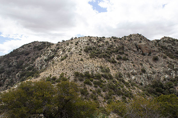
Higher, I climbed around some cliffs to gain the north ridge, descended to a saddle, and climbed a slope to reach the summit ridge of Bowie Mountain.
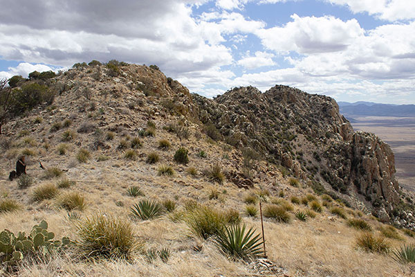
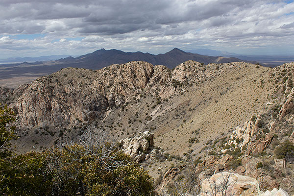
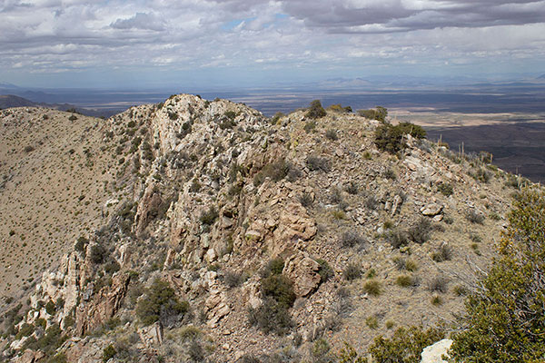
This ridge is U-shaped, with its open side facing the southwest. I arrived on the northeast point of the ridge and needed to travel to the south to find the summit. I watched the thickening clouds above me as I traveled.
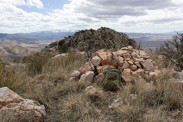
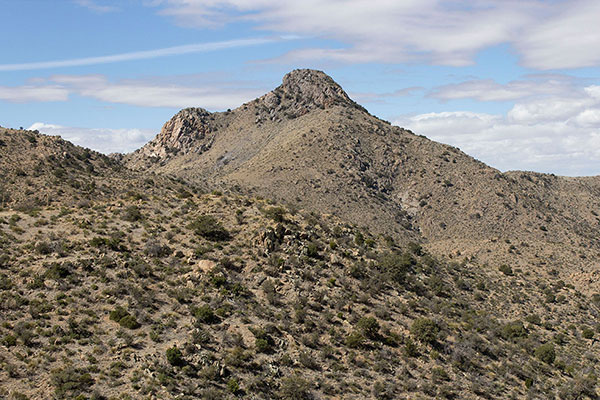
Each knob on the ridge appeared in turn to be a candidate summit. The first knob was easy to reach but although it had a rock cairn built upon it, this knob was obviously not the summit. Instead, a rocky knob further to the south was clearly higher.
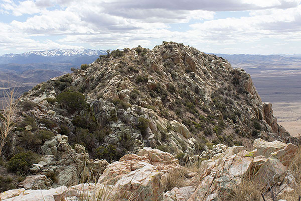
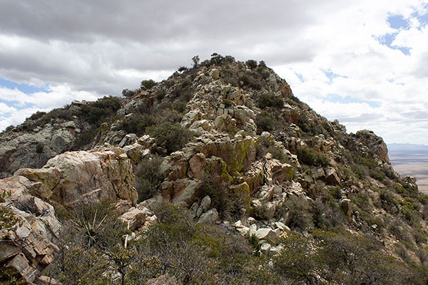
Large rock blocks and cliffs complicated further progress. After exploring a few dead ends I discovered that by keeping to the left of the ridge line I could avoid most obstacles. Where I needed to use my hands the rock was stable with ample holds. I did shove my knee into a sharp yucca at one point, but that was just my clumsiness.
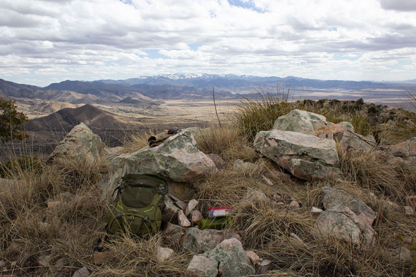
After one last false summit I finally arrived at the summit, itself. I looked for a summit registry, but only found a single piece of damp paper with a stubby pencil enclosed in a plastic sandwich bag. It had only one entry, made by my friend Matthias Stender, who evidently had left the record. I added my name as well.
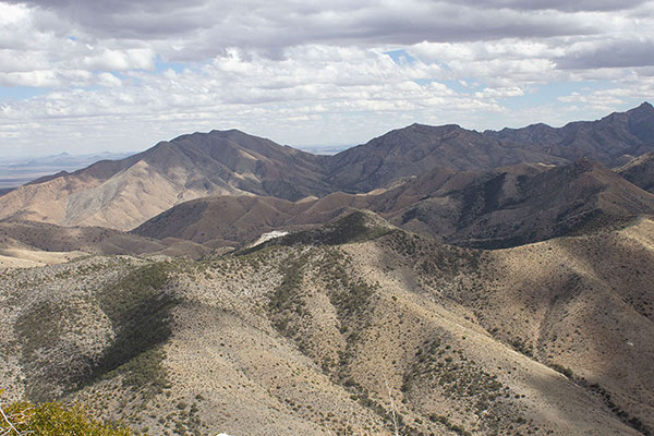
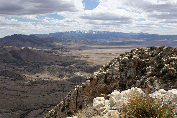
The clouds cast shadows over many of the peaks around me, but I was able to identify several of those in view. Wood Mountain, which I climbed with Matthias Stender and Scott Peavy in March 2021, rose nearby to the east. Government Peak, to the northwest, reminded me I should visit it soon. I rested over a quick lunch and took a few photos. Then I decided to start back while possible rain held off and the rocky surfaces were dry.
My return across the ridge went more quickly. I descended back to the saddle, then made a long traversing, then zigzagging descent down the steep and sometimes loose slope towards Fort Bowie. Lower, the steepness lessened and I moved more quickly. I crawled under the historic site boundary fence and returned to my Jeep without experiencing any rain. Government Peak now beckons.

Leave a Reply