On Thursday, July 26, I returned to the Anthony Lakes Campground in the Elkhorn Mountains of Northeast Oregon. Two weeks earlier I had also camped here. But after one day of climbing I left the Elkhorn Range under stormy weather. This time the weather forecasts were more favorable. I planned to hike more Northern Elkhorn Range Peaks over the next three days.
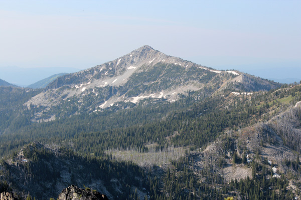
Mount Ruth and Columbia Hill
On Friday, my first day of climbing, I hiked south on the Elkhorn Crest Trail (ECT) over Angell and Nip and Tuck Passes. The morning had started cloudy, but the skies seemed to be gradually clearing as the morning progressed.
I continued to about 0.3 mile south of Lost Lake Saddle just west below Point 8255. From here I climbed open slopes to the Northwest Ridge of Mount Ruth. I followed this ridge up over some rocky sections to the summit. The views this day were less hazy than two weeks earlier. I again enjoyed viewing and identifying the surrounding Elkhorn Range peaks, including Mount Ireland to the southwest.
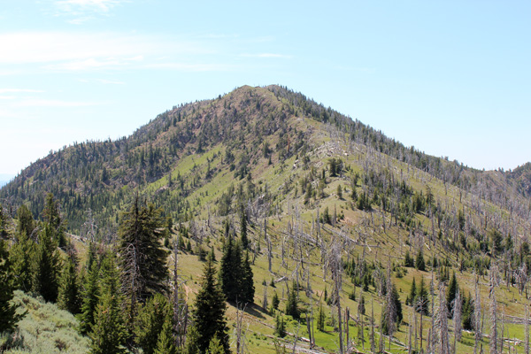
I identified Columbia Hill to the south, also adjacent to the Elkhorn Crest Trail. I had wondered if it was feasible for me to climb Columbia Hill as a day hike from Anthony Lake. The weather had improved from earlier in the morning and I decided give it a try.
I planned to traverse down the west side of the Mount Ruth’s South Ridge. But the slopes in that direction were covered with steep talus slides. Instead, I descended just slightly south of my ascent route to return to the trail.
I continued south on the Elkhorn Crest Trail to a junction immediately north of Columbia Hill. Here I met two backpackers headed north on the trail; these were the first people I had met that day. From the junction I hiked up the open and easy North Ridge of Columbia Hill to reach the summit. From Columbia Hill I had good views of Twin Mountain, Red Mountain, and Mount Ireland. I also had views of more distant Rock Creek Butte and Elkhorn Peak to the south.
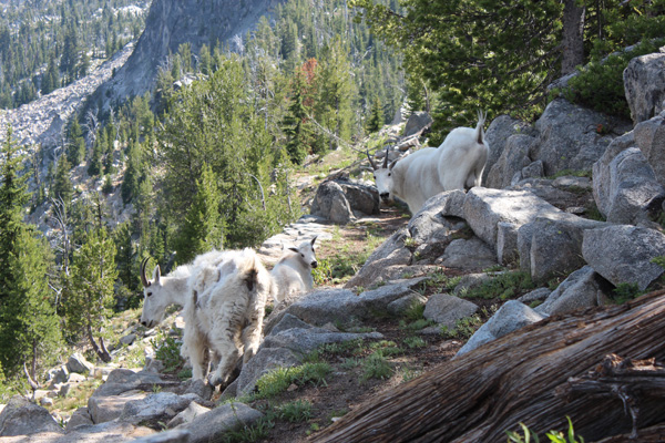
The return to camp was long – the total distance this day was almost 20 miles, a full day for me. But I was further rewarded by encountering a family of mountain goats on the way who allowed me to photograph them. The dad may have been the same goat I had encountered two weeks earlier not far from the same location.
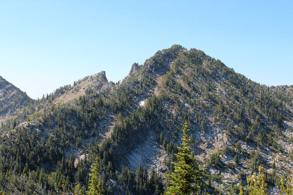
Gunsight Mountain and Angell Peak
Saturday morning I hiked again south along the ECT to about 7900′ elevation, just before reaching the open slopes below Angell Peak. I left the trail and traversed north below cliffs on the connecting ridge between Angell Peak and Gunsight Mountain. Eventually I found an easy scramble route to the ridge top.
From the ridge I first turned north and climbed Gunsight Mountain through forest to its exposed summit, the eastern pinnacle. This provided excellent views of the Anthony Lakes area to the north, Van Patten Butte to the east, and Angell and Lees Peaks to the south.
I descended the same ridge, then climbed Angell Peak. At first I followed the ridge line. As the ridge became steeper I traversed just below the rocky cliffs on the west (right) side. I alternated between scrambling on rock and steep heather. The last few feet to the summit was easier and the summit provided excellent views of the northern Elkhorn Range.
I descended towards the saddle between Angell and Lees Peaks, then down the draw and along the creek to Hoffer Lake. Here I picked up the Hoffer Lake Trail leading to Anthony Lake and the campground.
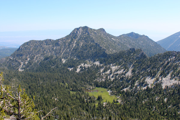
Van Patten Butte
Sunday morning I left the campground and drove about 2 miles east and turned right on a road signed to “Van Patten Lake”. Here a broad area, called “Little Alps” is suitable for parking several cars. From Little Alps a road leads one mile up to the Van Patten Lake Trailhead. This road was extremely rough and eroded. I, like everyone else I saw that day, parked at the bottom of this road and hiked from there.
I hiked up the road for about a mile to the Van Patten Lake Trailhead, then followed it up another 0.5 mile to the north end of Van Patten Lake. From the lake I could see two drainages I might follow to reach the East Ridge of Van Patten Butte. It appeared that the left drainage was less steep and cliffy than the right drainage.
I circled counter clockwise around the lake. At the second creek crossing I bushwacked uphill. This led to a steep talus slope. I skirted the talus slope on the right below cliffs. Then I climbed up a steep grassy headwall leading to the ridge line east of Point 8318. Here I created a cairn to help me find my descent.
I followed the ridge line west around rock blocks and through thick timber. I observed the alternate ascent route and decided it might be preferable for my descent. The ridge line broadened and opened up just north of Point 8648. From there it was an easy hike to just below the Van Patten Butte summit.
The summit, itself, was rocky and exposed but easy to climb. As usual for this area the summit provided excellent views of the northern Elkhorn Range.
I retraced my route on my descent until I saw what I thought was the alternate descent route. I took this route and descended steep and loose rocks to reach meadows below. In hindsight I should have continued down the ridge a bit further east; it would have been a safer descent route to these meadows. The hike down to Van Patten Lake became brushy between rocky outcroppings, but otherwise was straightforward.
I returned to my car, meeting several Sunday afternoon hikers along Van Patten Lake and hiking up the trail- obviously a very popular outing for local people.

Leave a Reply