In June I drove and hiked prominence peaks in Southern Oregon and Northern California. The weather was unsettled but I had the peaks to myself and saw a black bear and wild horses.
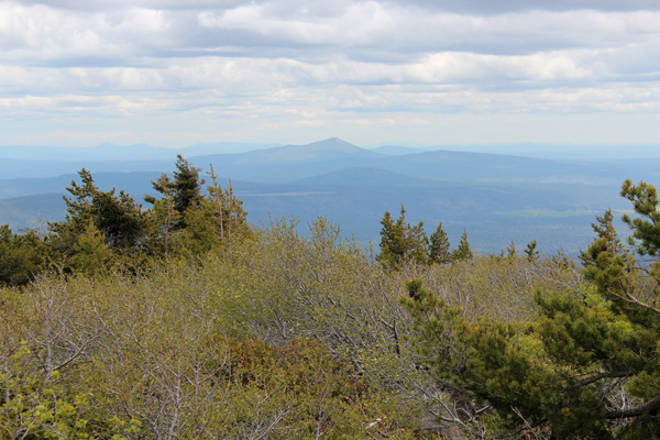
Swan Lake Point, Stukel Mountain, and Hamaker Mountain
Swan Lake Point, Stukel Mountain, Hamaker Mountain, and Yainax Butte each have at least 2000 feet of prominence. They are located near Klamath Falls in Southern Oregon. On June 1 I visited Swan Lake Point, Stukel Mountain, and Hamaker Mountain summits. I expect most people passing through the area give these peaks little notice. Forest roads lead me to or near these summits. I got good views of this volcanic part of Oregon.
I especially enjoyed the forested solitude of Swan Lake Point. From there I viewed the region to the south from a quite different perspective than I was familiar with. The steep gravel road up to near the summit of Stukel Mountain was fun to drive in my jeep. The actual summit was a very short walk from where I parked.
By the time I drove to the summit of Hamaker Mountain the weather was gusty and raining heavily. I quickly found what I thought was the highest point just outside a fenced area containing a radar installation. Then I headed down the mountain and on to Weed, California, for the night.
South Yolla Bolly Mountain
South Yolla Bolly Mountain lies west of Corning, California, in the Northern Coast Range of California. It has 4814 feet of prominence and is the 63rd most prominent peak in the 48 Contiguous US States. The mountains rise suddenly as you drive west into in the Mendocino National Forest beyond the town of Paskenta.
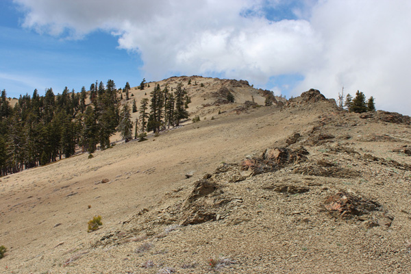
In the morning of June 2 I drove from Weed through Corning and Paskenta to the Ides Cove Trailhead. This trailhead provides access to the Yolla Bolly – Middle Eel Wilderness. I hiked up the East Ridge of South Yolla Bolly Mountain through open country to reach the summit. North Yolla Bolly Mountain was hidden in clouds. This was my first visit to these mountains; I was impressed with the size of the wilderness.
Mount Eddy
Once I returned to the trailhead I drove on towards Mount Eddy. Mount Eddy has 5105 feet of prominence and is the 56th most prominent peak in the 48 Contiguous US States. It lies in the Trinity Mountains of Northern California just west of Mount Shasta and the City of Weed. I arrived at the Deadfall Lakes Trailhead in the Shasta – Trinity National Forest late afternoon June 2. I spent the evening and night camped there.
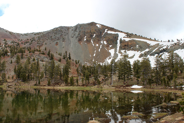
On June 3 I left the trailhead and hiked the Deadfall Lakes and Sisson Calahan Trails. I passed several of the Deadfall Lakes and reached the southwest ridge of Mount Eddy. From there I followed the Mount Eddy Trail up the southwest ridge and south slopes to the summit.
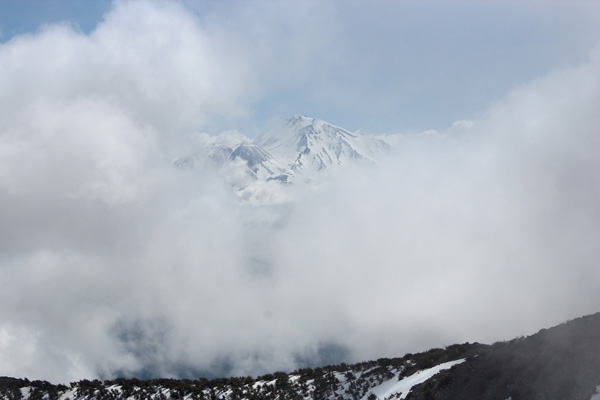
From the Mount Eddy summit Mount Shasta occasionally appeared from behind clouds to the east. While descending the Deadfall Lakes Trail through a meadow I spooked a black bear in the distance near trees. It quickly ran into the nearby forest.
Yainax Butte
That afternoon I drove north and followed instructions to find the summit road to Yainax Butte near Beatty, Oregon. I recorded my driving track to help me reverse my route through the many intersections on my exit.
At one point after I drove past a meadow wild horses ran across the forest road in front of me. I suspect their previous owners had set them loose in the forest. They seemed quite healthy and well adapted to the forested country. I camped along the summit road and enjoyed a pleasant evening and night.
The next morning, June 4, I hiked the remaining few miles to and from the summit lookout. I enjoyed identifying the many peaks around me that I had previously visited. I noted some I planned to visit in the future.

Leave a Reply