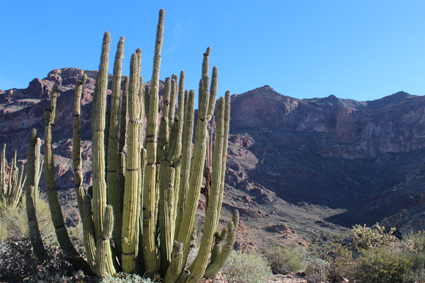
On February 23 Linda dropped me off at the Bull Pasture Trail below Mount Ajo in the Organ Pipe Cactus National Monument. From there, I hiked and scrambled up Mount Ajo, the high point of the Ajo Range. The Ajo Range is volcanic with many cliffs and rock outcrops. Hiking high on the route reminded me of Misery Ridge at Smith Rock, Oregon. Mount Ajo is an Arizona peak with at least 2000 feet of prominence. I spotted several other Arizona prominence peaks and Mexican peaks from the summit.
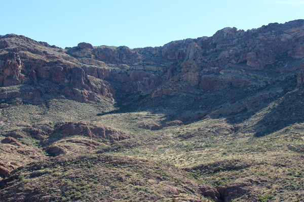
I followed the Bull Pasture Trail for the first 1.5 miles. From Bull Pasture I followed a well-worn climbers trail the rest of the way to the summit. The hiking elevations were only 2400 – 4800 feet and the sunny sky was clear. But it was a cooler day than recent ones. There was a breeze on the ridges which helped make the day quite pleasant for hiking.
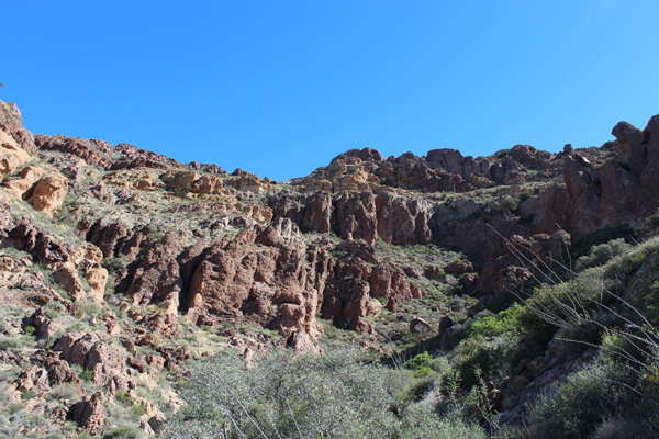
The crux of the route was gaining the south ridge of Mount Ajo. From Bull Pasture the climbers trail traverses south to pass below a rock tower called “The Thumb”. From here the trail traverses north and east below cliffs to reach rounded rock towers called “The Cones”.
The Cones are just being sunlit in the center of the above photo. The route traverses below the Cones from right to left, then ascends a steep and loose trail to the right behind them. This reaches the ledge above and to the right of the Cones. The trail then traverses across the ledge from right to left as it climbs towards the south ridge line.
In the photo above we are looking up at the ledge above the Cones. The Cones are just visible on the right margin of the photo. The route crosses some slabs as it traverses north (left) across the ledge. The exposure is minimal and the footing was very good.
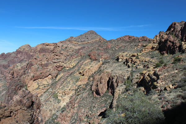
In the above photo the ledge leads towards the false summit “Point 4620”. The trail reaches the ridge just to the right of Point 4620 and traverses below it to the right (east). Eventually the route climbs up through an steep but firm chute between cliffs to regain the ridge behind it.
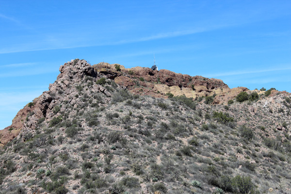
As I approached the summit of Mount Ajo I noticed a helicopter flying about above the summit. It eventually left. Subsequently I spotted a person working near the radio facility building on the summit ridge. Likely he had been delivered by the helicopter. He soon disappeared into the building. In the above photo the radio facility building is partially visible on the ridge in the center. The summit is on the left side of the ridge where a smaller antenna is mounted.
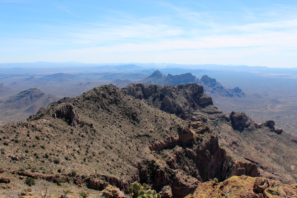
I enjoyed scanning the surrounding peaks from the summit. To the south I looked across the south ridge towards several ranges in the distance that were unknown to me.
The northern Ajo Range was impressive – steep and complex. The copper mining tailings near Ajo, Arizona, were visible beyond. Far in the distance to the north I thought I recognized Woolsey Peak. I plan to visit it next winter.
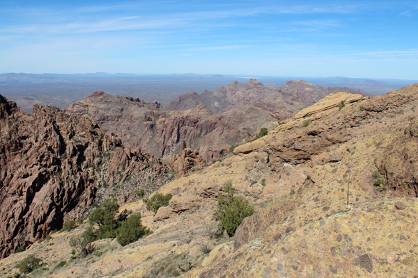
To the east I recognized several peaks I have previously visited including Gu Achi Peak, Kitt Peak, and Coyote Mountain. I also identified others I plan to visit next winter including South Mountain, Baboquivari Peak, and the Silver Bell Mountains.
To the west I photographed several peaks to identify later using mapping software for future explorations.
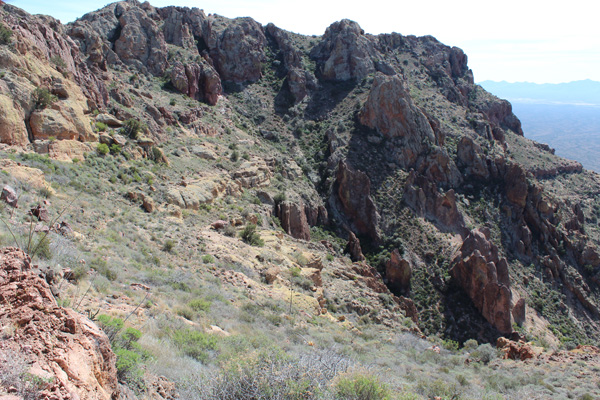
I enjoyed the summit views, but needed to return to the trailhead. The descent along the south ridge went smoothly. I paused to look down on the steep and loose section of trail descending just to the left of The Cones.
I had found adequate footing earlier as I climbed up this section of trail. On the descent it was harder to identify the subtle surface undulations and at one point my right boot slipped. I fell on and slid across my left ankle. I was able to stand up and put weight on my left foot. Thankfully, I decided my ankle was only sprained.
I very carefully completed the steep and loose descent past the Cones. Slowly I continued my descent on the climbers trail favoring my sore ankle. I vowed to be more alert and careful in the future.
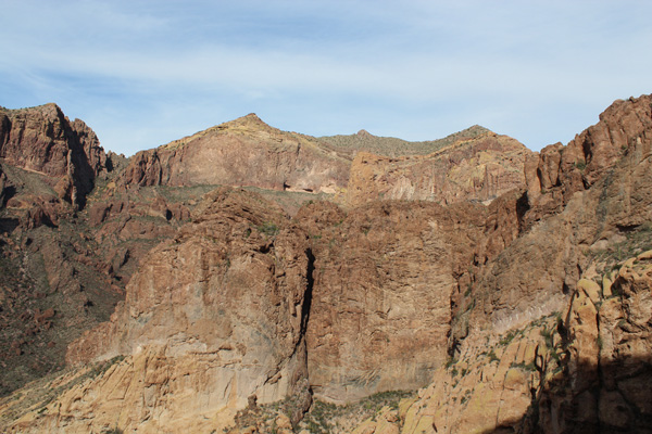
Once back on the Bull Pasture Trail the footing improved and the stress on my ankle diminished. As I descended the trail I paused to enjoy the mid afternoon lighting on the western face of Mount Ajo. The lighting brought out much more detail and color than what I had seen in the morning. In the above photo the summit of Mount Ajo is on the left and Point 4620 is on the right.

Linda was waiting for me at the trailhead when I arrived much later than I had expected. We returned to the Twin Peaks Campground for our last evening in the Organ Pipe Cactus National Monument. I enjoyed a warm shower. I iced my ankle while watching the sunset cast purple light onto the Ajo Range to our west.

Leave a Reply