GlassMountains Trip Reports

Exploring the backcountry and wilderness of the Western USA.

Trip Reports

  • SITE HOME
  • ALL
  • BICYCLING
  • CLIMBING
  • HIKING
  • SKIING
  • FAMILY

Mount Ajo, Arizona, February 2016

February 28, 2016 by Paul McClellan Leave a Comment

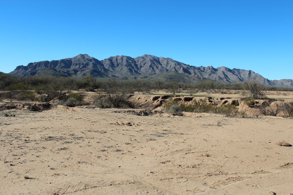
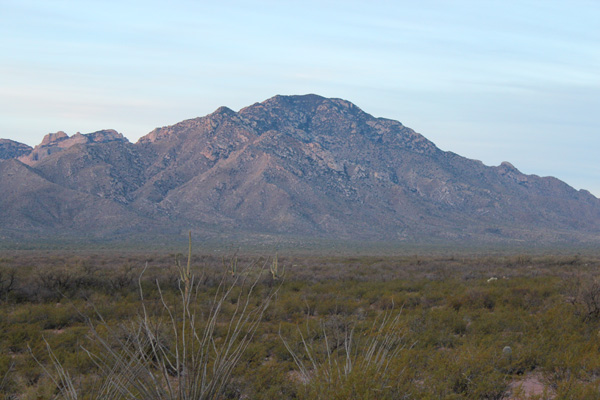
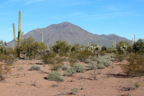
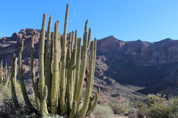
On February 23 Linda dropped me off at the Bull Pasture Trail below Mount Ajo in the Organ Pipe Cactus National Monument. From there, I hiked and scrambled up Mount Ajo, the high point of the Ajo Range. The Ajo Range is volcanic with many cliffs and rock outcrops. Hiking high on the route reminded me of Misery Ridge at Smith Rock, Oregon. Mount Ajo is an Arizona peak with at least 2000 feet of prominence. I spotted several other Arizona prominence peaks and Mexican peaks from the summit.

Organ Pipe Cactus and Mount Ajo from the Bull Pasture Trail

I followed the Bull Pasture Trail for the first 1.5 miles. From Bull Pasture I followed a well-worn climbers trail the rest of the way to the summit. The hiking elevations were only 2400 – 4800 feet and the sunny sky was clear. But it was a cooler day than recent ones. There was a breeze on the ridges which helped make the day quite pleasant for hiking.

[Read more…] about Mount Ajo, Arizona, February 2016

Filed Under: Climbing Tagged With: Ajo Range, Arizona, Mount Ajo, Organ Pipe Cactus National Monument

Newman Peak, Arizona, February 2016

February 9, 2016 by Paul McClellan Leave a Comment

On February 5 I climbed Newman Peak, the highest point in the Picacho Mountains north of Tucson, Arizona. With 2529 feet of topographic prominence it is also the 38th most prominent peak in Arizona.

Newman Peak has a reputation for difficult access and brushy and rocky slopes. So I did my homework beforehand. I researched the driving route from online reports, USGS topo maps, and satellite images.

Newman Peak from the south

The previous afternoon I drove in to below Newman Peak from the south on primitive roads. I carried my driving notes with me, updating them as I worked my way in. My drive crossed the Central Arizona Project Canal without issue in two places. As I passed through the first of three gates I entered Arizona State Trust Land. I carried my annual Arizona State Land recreational permit.

[Read more…] about Newman Peak, Arizona, February 2016

Filed Under: Climbing Tagged With: Arizona, Newman Peak, Picacho Mountains

Coyote Mountain Attempt, Arizona, January 2016

January 27, 2016 by Paul McClellan Leave a Comment

On January 23 I joined two friends, Eric Kassan, and Kay Komuro, for an attempt on Coyote Mountain west of Tucson, Arizona. Coyote Mountain is a steep and rocky mountain just east of Kitt Peak. It has a long-abandoned trail leading towards the summit. We greatly underestimated the peak and decided to turn back short of the summit. I learned a lot about Coyote Mountain and plan to try again soon.

Coyote Mountain from AZ Highway 86

I got good morning views of Coyote Mountain from the east and north from Tucson on Arizona Hwy 86. That morning, it seemed every other vehicle I met on this highway was a Border Patrol vehicle. I wondered if that was normal for a Saturday morning.

[Read more…] about Coyote Mountain Attempt, Arizona, January 2016

Filed Under: Climbing Tagged With: Arizona, Attempt, Coyote Mountain

Gu Achi Peak, Arizona, January 2016

January 25, 2016 by Paul McClellan Leave a Comment

On January 21 Josef Nuernberger and I drove into the Tohono O’odham Indian Reservation (Tohono O’odham Nation) and climbed Gu Achi Peak. Gu Achi Peak is the highpoint of the Santa Rosa Mountains. It is one of the 73 Arizona peaks with at least 2000 feet of prominence.

Gu Achi Peak is rarely climbed due to remoteness, lack of online access information, and a reputation for the locals being unwelcoming of visitors. With some road access research provided by Eric Kassan, Josef and I found the drive in from the south to be straightforward (with suitable maps, vehicle clearance, and good tires). The only local inhabitant we saw, in the tiny community of Sil Nakya, appeared friendly and we saw no other vehicles once we left pavement near there.

Our route up the peak followed an east-ward facing ridge with mostly firm footing. The ridge steepened near the top and provided some class 2 and 3 scrambling. The weather was ideal and the summit provided views of other Southern Arizona peaks I have visited and many more I hope to visit in the future.

Gu Achi Peak from the approach road from the south

We found little information about road access to Gu Achi Peak, so I have included my driving directions here. This approaches Gu Achi Peak from the south Starting on Arizona Highway 86.

[Read more…] about Gu Achi Peak, Arizona, January 2016

Filed Under: Climbing Tagged With: Arizona, Gu Achi Peak, Tohono O'odham Nation

« Previous Page
Next Page »

RECENT POSTS

  • Cookes Peak, New Mexico, February 2026
  • Tandem Skydiving, Oregon, August 2025
  • Castle Rock, Oregon, August 2025
  • Fish Creek Mountain, Oregon, July 2025

MONTHLY ARCHIVES

Blogroll

  • Arizona Peaks (Peavy)
  • Cycle Uphill (Sharp)
  • Desert Mountaineer (Kasian)
  • Earthline: The American West (Van Winegarden)
  • jessb.org (Beauchemin)
  • New Bohemians (Rogers)
  • Stav is Lost
  • The Mountains of Arizona (Surgent)
  • The Zenith (Baker)

Site content Copyright © 2026 Paul J. McClellan. All rights reserved.
Copyright Details
Log in